Tocht Stappen Les Trois-Îlets - Boucle via Constant et Fond Mulâtre  - Photo

Boucle via Constant et Fond Mulâtre

 Lamartiniere
Lamartiniere

Gebruiker GUIDE

© OpenStreetMap contributors
Lengte
Lengte
11,5 km
Max. hoogte
Max. hoogte
331 m
Positief hoogteverschil
399 m
Km-Effort
Km-Effort  
16,8 km
Min. hoogte
Min. hoogte
4 m
Negatief hoogteverschil
400 m
Boucle
Boucle
Ja
Datum van aanmaak :
2023-03-16 11:15:29.358
Laatste wijziging :
2023-03-17 21:03:43.788

(0 Bericht)

Stappen
Stappen
4h00
Moeilijkheid : Moeilijk

Scan deze QR-code om de tocht te openen in de SityTrail-applicatie

Gratisgps-wandelapplicatie

Logo SityTrail SityTrail

IGN / Geografische instituten

SityTrail uit de App Store downloaden SityTrail uit Google Play downloaden

Logo SityTrail SityTrail World

De wereld gaat voor u open

SityTrail uit de App Store downloaden SityTrail uit Google Play downloaden SityTrail op Huawei AppGallery downloaden

Over ons

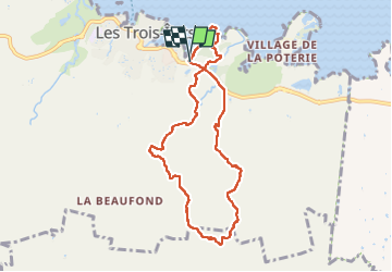
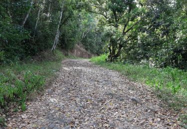
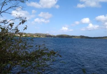
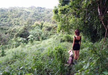
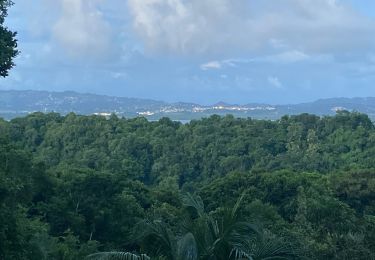
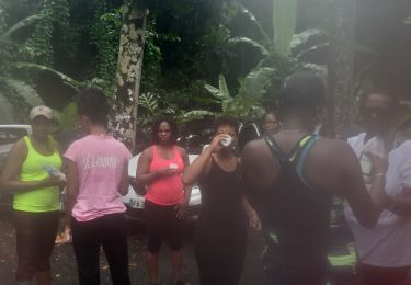
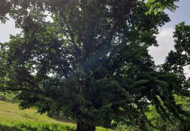
Tocht Stappen van 11,5 km beschikbaar op Martinique, Onbekend, Les Trois-Îlets. Deze tocht wordt voorgesteld door Lamartiniere.

Beschrijving

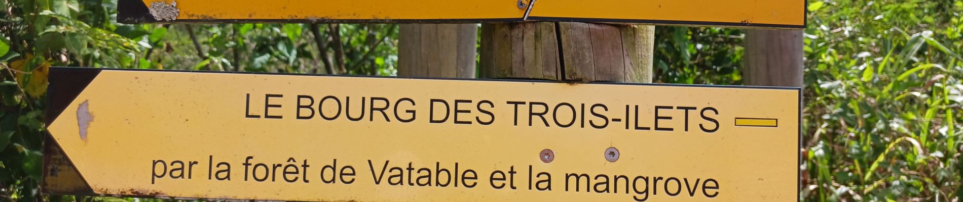
Demande d'autorisation de passage obligation sur Hbt Vatable.

Hoogteprofiel

Foto's

Plaatsbepaling

Land:
France
Regio :
Martinique
Departement/Provincie :
Onbekend
Gemeente :
Les Trois-Îlets
Locatie:
Unknown
Vertrek:(UTM)
712635 ; 1607739 (20P) N.

Wandeltochten in de omgeving

Tocht Stappen Les Trois-Îlets - Boucle de Anse à l'âne et Galochat à Trois-Îlets. - Photo
Stappen
GUIDE
GabyG

Stappen

Medium
Les Trois-Îlets, Martinique, Onbekend, France
6,8 km | 10 km-effort
3h 27min
Ja
Tocht Stappen Les Trois-Îlets - habitation vatable et ses plantations  - Photo
Stappen
GUIDE
GabyG

Stappen

Medium
Les Trois-Îlets, Martinique, Onbekend, France
6 km | 7,2 km-effort
1h 59min
Ja
Tocht Stappen Les Trois-Îlets - Haut de la pagerie vers Ancinel - Photo
Stappen
GUIDE
GabyG

Stappen

Heel gemakkelijk
(1)
Les Trois-Îlets, Martinique, Onbekend, France
5,1 km | 7,7 km-effort
1h 40min
Ja
Tocht Te voet Les Trois-Îlets - Forêt Vatable et Habitation Vatable - Photo
Te voet
GUIDE
GabyG

Te voet

Gemakkelijk
(1)
Les Trois-Îlets, Martinique, Onbekend, France
3,5 km | 4 km-effort
1h 50min
Ja
Tocht Stappen Les Trois-Îlets - Circuit de la Pagerie - Photo
Stappen
GUIDE
David25400

Stappen

Gemakkelijk
Les Trois-Îlets, Martinique, Onbekend, France
8 km | 11,7 km-effort
2h 33min
Ja
Tocht Stappen Les Trois-Îlets - Morne Gardier - Morne du Riz - Photo
Stappen
GUIDE
David25400

Stappen

Medium
Les Trois-Îlets, Martinique, Onbekend, France
6,3 km | 11,5 km-effort
2h 33min
Ja
Tocht Stappen Les Trois-Îlets - Anse Mitan Esperance passemontemps anse à L’ane  - Photo
Stappen
GUIDE
manuelPerez

Stappen

Les Trois-Îlets, Martinique, Onbekend, France
10,3 km | 15,1 km-effort
3h 18min
Ja
Tocht Stappen Les Trois-Îlets - les hauteurs de la pagerie 2ème édition  - Photo
Stappen
GUIDE
GabyG

Stappen

Heel gemakkelijk
Les Trois-Îlets, Martinique, Onbekend, France
8,4 km | 12,5 km-effort
2h 44min
Ja
Tocht Stappen Les Trois-Îlets - Accès  Haut de la Pagerie.  - Photo
Stappen
GUIDE
GabyG

Stappen

Heel gemakkelijk
Les Trois-Îlets, Martinique, Onbekend, France
2,2 km | 3,3 km-effort
22min
Neen


Sluiten
Mijn abonnementen